Postcard no 296 - Beverly
I have just recently received this card. Texas, the Lone Star State, is the second most populous and the second-largest of the 50 states in the United States of America. Located in the South Central US, Texas shares an international border with Mexico to the south, and borders the US states of New Mexico to the west, Oklahoma to the north, Arkansas to the northeast and Louisiana to the east. Texas has an area of 268,820 square miles (696,200 sq km), and a growing population of 25.7 million residents.
Houston is the largest city in Texas and the fourth-largest in the United States, while San Antonio is the second largest in the state and seventh largest in the United States. Dallas–Fort Worth and Greater Houston are the fourth and fifth largest United States metropolitan areas, respectively.
The name Texas, based on the Caddo word
tejas meaning "friends" or "allies", was applied by the Spanish to the Caddo themselves and to the region of their settlement in East Texas.
During the Spanish colonial rule, the area was officially known as the Nuevo Reino de Filipinas: La Provincia de Texas. Antonio Margil de Jesús was known to be the first person to use the name in a letter to the Viceroy of Mexico in July 20, 1716. The name was used in legal documents from then onwards but was not popular in daily speech until the end of the 1800s.
You can click on this picture to enlarge it.
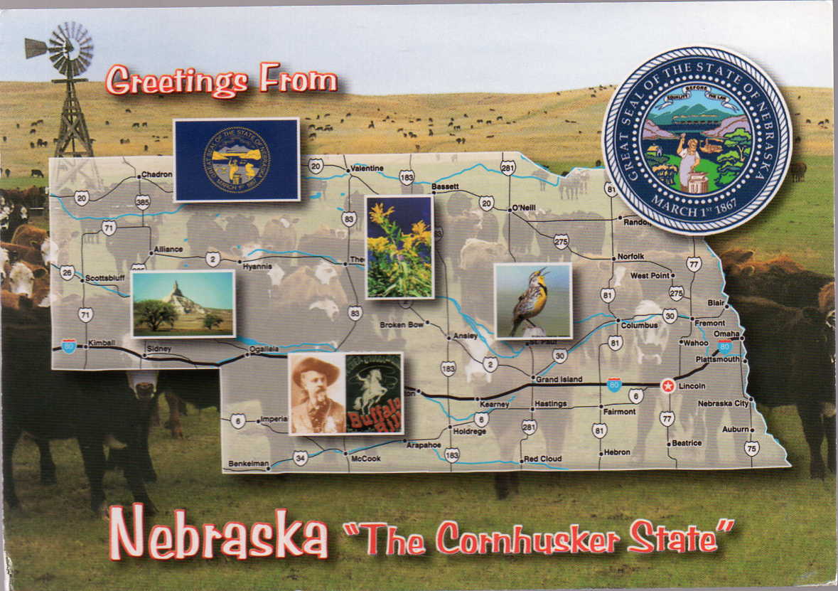
This is now my twelfth State Map or, to be pedantic, the twelfth state of which I have received a map or maps. The others are shown below.
These pictures can be clicked on to enlarge them.
Card no 19 - Jamie
Card no 168 - Carol
Card no 8 - Carol
Card no 13 - Danielle
Card no 31 - Jamie
Card no 62 - Jamie
Card no 66 - Jamie
Card no 79 - Jamie
Card no 103 - Norma
Card no 174 - Cindy
Card no 208 - Danielle
Card no 132 -Mimi
Card no 280 - Dorothea
Card no 281 - Dorothea
I know some folk have gone to quite an effort to get me state cards and thanks very much to all of you. By the way, I'm more than happy to receive different cards of the states I've already got. They all show different things. Some show state flowers, birds, etc. and have different symbols for the towns and cities and tourist spots.